TAMPA, Fla. – A tropical disturbance developing in the Southwest Gulf could rapidly strengthen before encountering severe wind shear near the Northern Gulf Coast.
Read more Neal McCoy on receiving his invitation to join the Grand Ole Opry: ‘They totally surprised me!’
Gulf tropical system development
What we know:
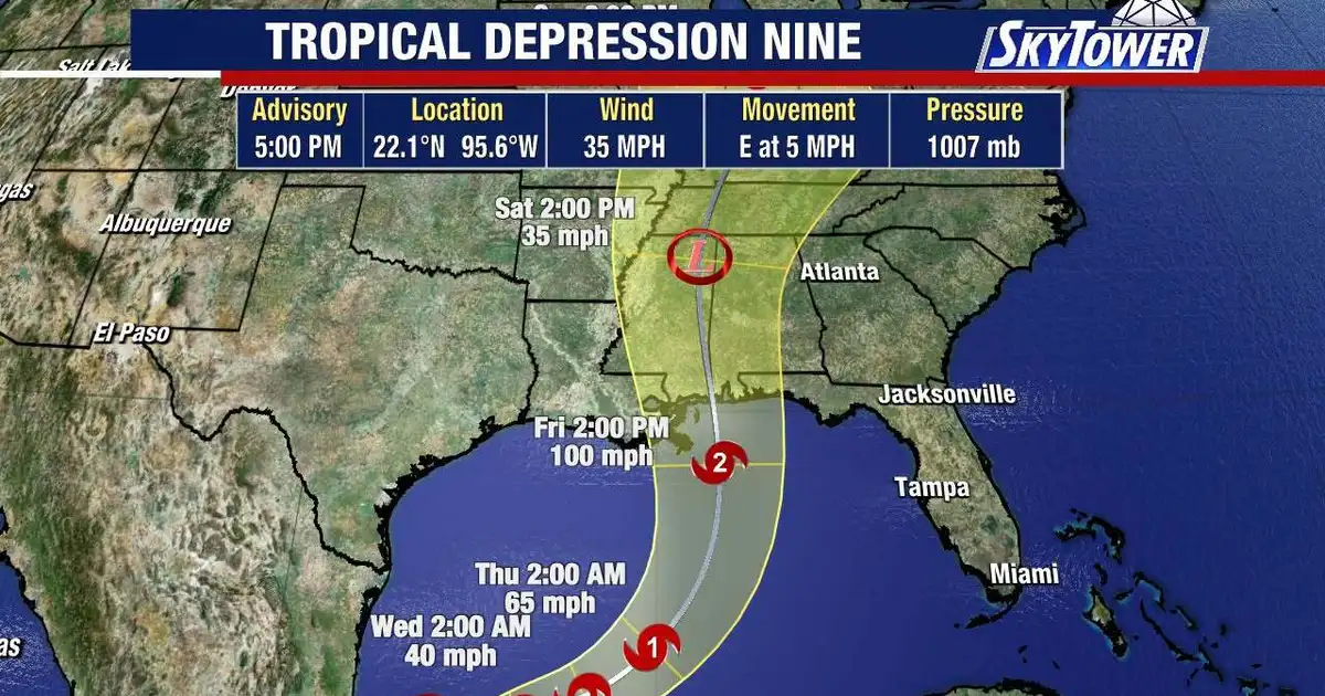
A tropical disturbance known as Invest 92L is rapidly organizing in the Southwest Gulf.
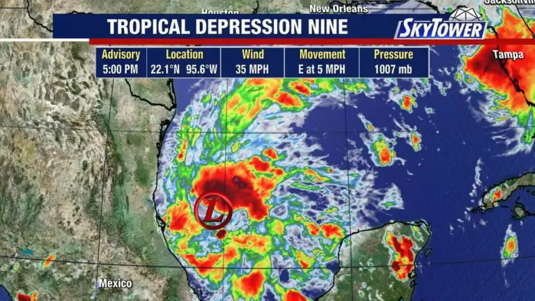
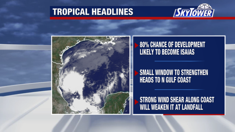
Computer models indicate the system has a high probability of developing into Tropical Storm Isaias in the short term due to warm ocean temperatures.
However, strong wind shear across the northern Gulf is expected to tear the storm apart as it approaches the coastline.
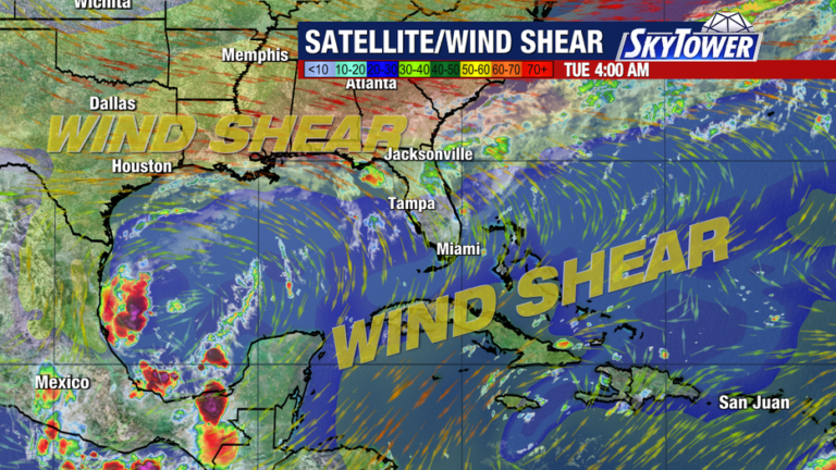
Invest 92L tracker: Spaghetti models
What we don’t know:
Forecasters cannot pinpoint the exact peak strength of the system before it reaches land.
Read more Canadian ransomware negotiator arrested on federal charges amid FBI hacking probe
While some computer models bring the disturbance to hurricane status during its brief window in warm waters, it remains uncertain how quickly wind shear will weaken the storm prior to landfall.
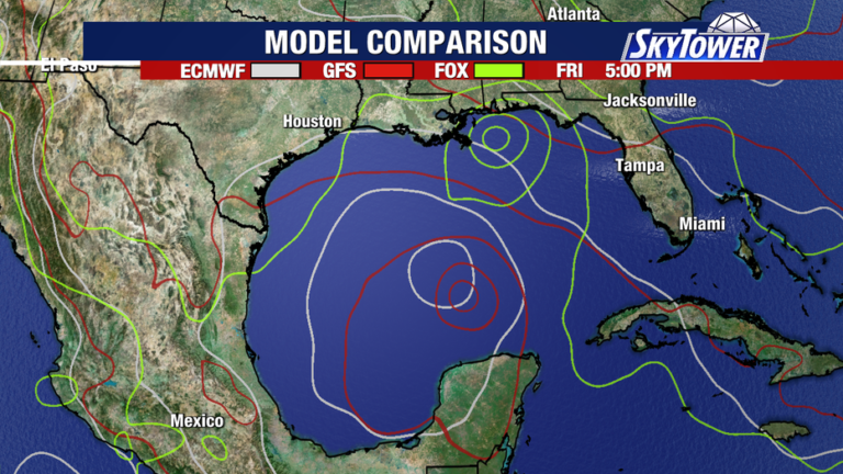
Storm track forecast path
Local perspective:
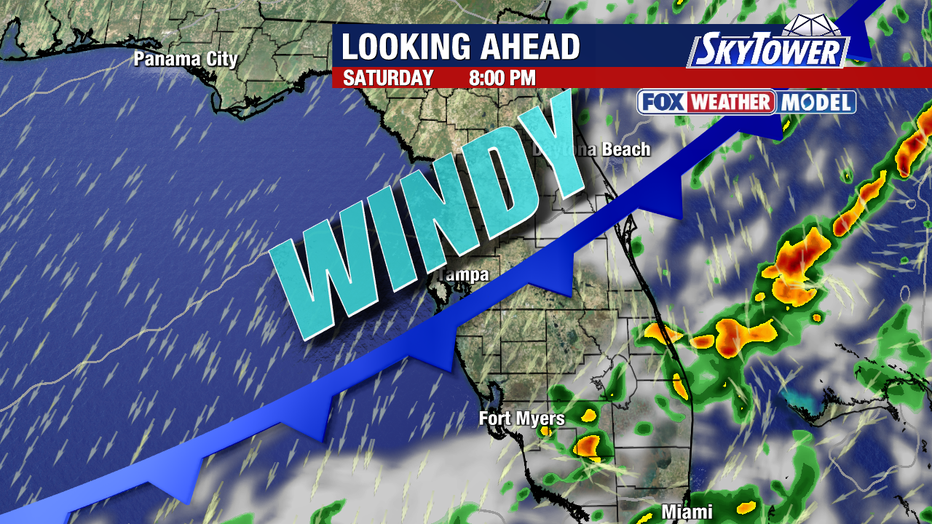
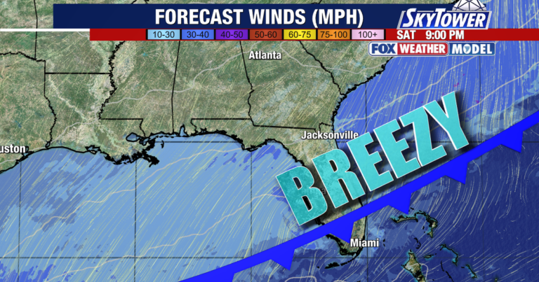
Current forecast models show no signs of an easterly turn toward the west coast of Florida.
Meteorologists are continuing to monitor the northern trajectory as the system drifts east-northeastward before heading north toward the Gulf Coast.
Read more Jacksonville man dies after high-speed SUV crash into Wesley Chapel home
About the Author