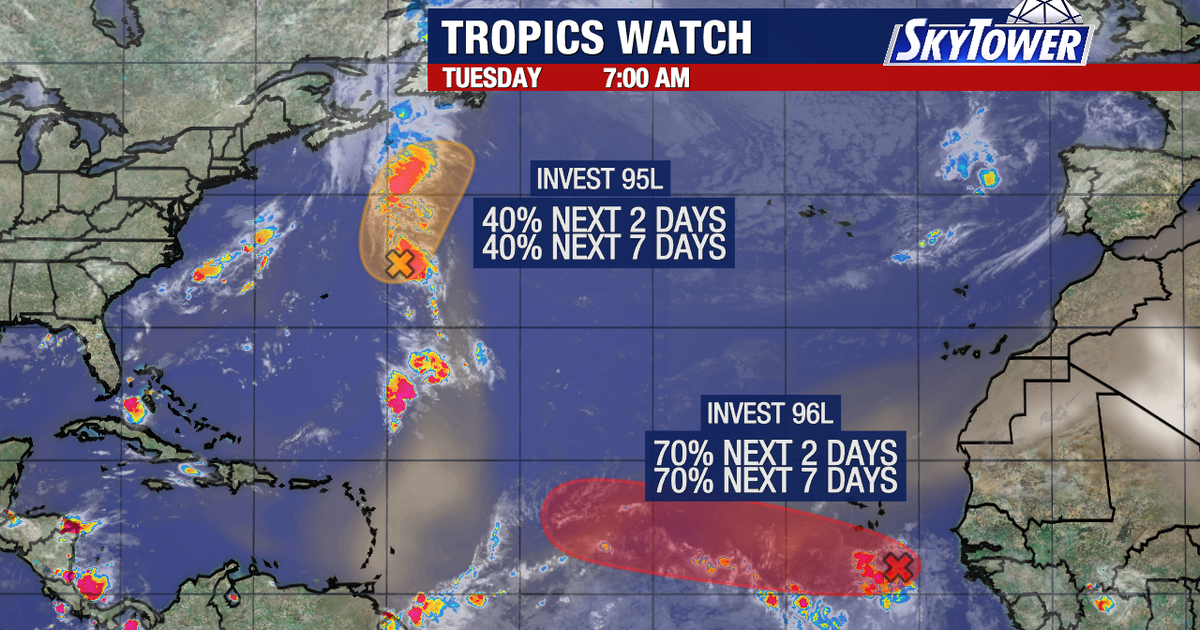
TAMPA, Fla. – Meteorologists are closely monitoring two areas of interest in the Atlantic Ocean as one system near Africa approaches tropical depression status while traveling westward toward the islands.
Read more Florida proposes dropping 4 vaccines from school entry requirements
Atlantic weather tracking
What we know:
Forecasters are actively watching two distinct areas of potential tropical development in the Atlantic Ocean.
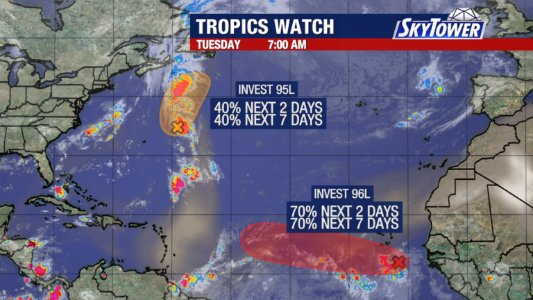
A disturbance located east of Bermuda currently carries a 40% chance of developing into a tropical depression.
Even if that system strengthens, current tracks show it moving northward and eventually out to open sea without impacting land.
Meanwhile, a second system off the coast of Africa presents a higher likelihood of tropical development.
Read more TPA opts out of private security program, keeps federal TSA screening
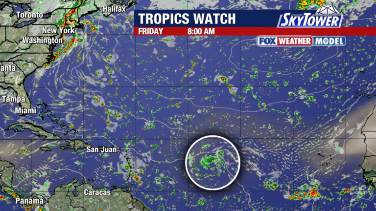
Environmental conditions give this second wave a 70% chance of becoming a tropical system as it moves slowly west toward the islands.
Islands forecast challenges
What we don’t know:
It remains uncertain whether either system will ultimately reach hurricane strength or directly impact land.
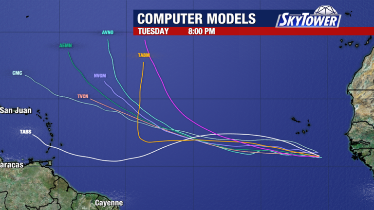
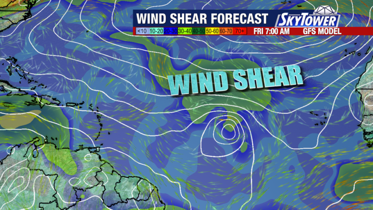
The system coming off the African coast must navigate unfavorable conditions, including Saharan dust and high wind shear, as it gets closer to the islands.
While many computer models currently turn the system to the north before it can reach the islands, forecasters emphasize that the disturbance still has a long way to go, and shifts in track remain possible.
Read more Trial delayed for man charged in the Pan Am Flight 103 bombing that killed 270 people
About the Author