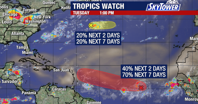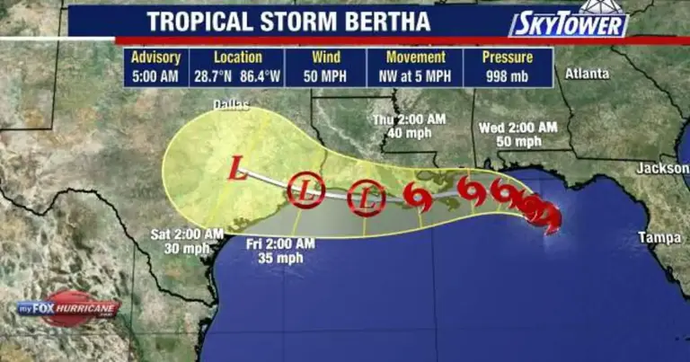
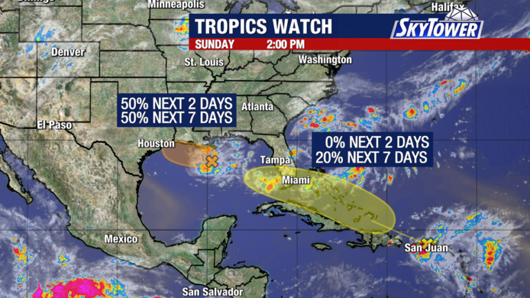
Meteorologists are closely tracking two tropical disturbances—Invest 97L in the northern Gulf and the remnants of former Tropical Storm Dolly in the Caribbean—for signs of organization over the coming days.
Read more Tampa Bay Rays eye September groundbreaking for 2.3 billion ballpark
Gulf disturbance tracking
What we know:
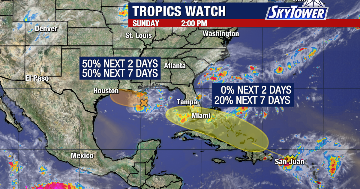
Invest 97L has become significantly better organized about 125 miles south of southeastern Louisiana. The National Hurricane Center gives the low-pressure area a 50% chance of developing into a tropical depression or tropical storm over the next 48 hours as it drifts west-northwest toward the Upper Texas or southwestern Louisiana coast.
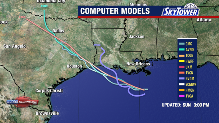
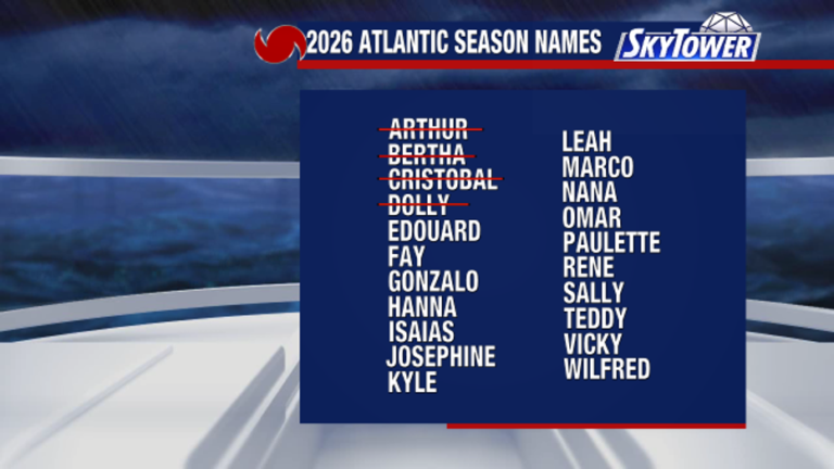
Regardless of whether a formal tropical system forms before Tuesday or Tuesday night, heavy rainfall remains the primary hazard along portions of the northern Gulf Coast. The next storm to organize in the Atlantic basin will take the name Edouard.
Read more Lake Ontario or Lake America? For Google Maps, it depends
Caribbean wave movement
What we don’t know:
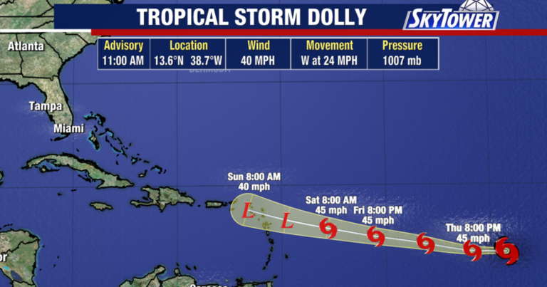
Former Tropical Storm Dolly continues to push westward as a strong tropical wave producing heavy showers and gusty winds across the Leeward Islands, Virgin Islands and Puerto Rico. Forecasters do not expect immediate redevelopment over the next 48 hours because the system lacks a closed surface circulation.
However, environmental conditions could become more favorable once the wave clears Hispaniola and eastern Cuba to enter the southeastern Gulf of Mexico by mid-week, raising its seven-day development odds to 20%. Weather models suggest the wave could draw deep tropical moisture into Florida late next week, though experts cannot yet pinpoint exact rainfall totals or determine if a weak tropical low will form. Neither system currently threatens the Tampa Bay region.
Read more Nashville International Airport to be renamed after Dolly Parton
About the Author